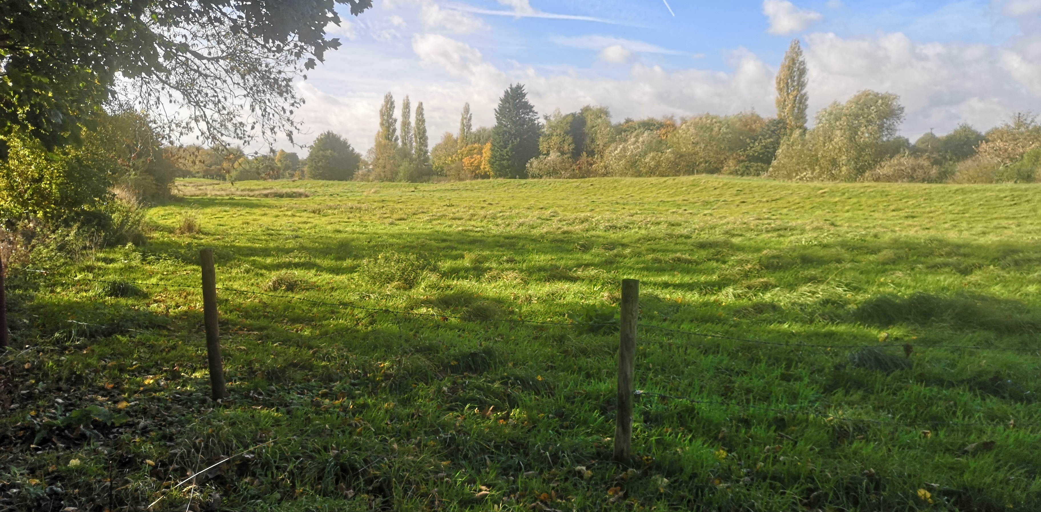
Chalk streams, according to my big-brain sister, are one of the rarest habitats on Earth and most of them are in England. What’s more, one of them, the River Lud, flows right past my orchard and probably accounts for how completely awesome the trees and apples are. It’s certainly nothing to do with my skills as an orchardman. Given its significance, I decide to spend a morning walking as much of its length as I can manage without working up a sweat. There’s no point getting carried away. Eventually, I’ll follow it to where it meets the sea, but I might need a rest or two along the way.
Any Louth person worth their salt knows that the Lud starts in the Wolds and heads through Hubbard’s Hills towards Louth. Once it’s done with the town, it joins the Louth Navigation Canal for a bit and then wanders off to the sea. I know this but I’m a cautious soul so I check online before setting off. Once my local knowledge is confirmed, I slap on the Factor 50 and walk from my home to the back entrance to Hubbard’s Hills, where today’s odyssey officially begins.
Most of the families that plan a day out feeding ducks and playing rounders come in by the town end so there’s often not a lot going on up here. I also prefer the views walking this way through the park. Maybe the river curves in a more aesthetically pleasing way from west to east. Today however, perhaps because it’s the first bearably hot day following a recent heatwave, the car park and its nearby overflow are both full. If the parked up cars are anything to go by, there must be nigh on fifty people out walking.
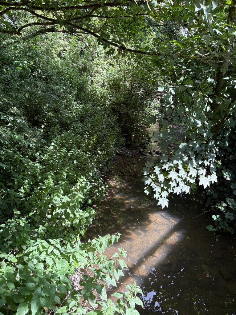
The river here, full of wold water, is slow moving and crystal clear. Aside from a single golf ball stuck in the silt, it looks clean enough to stick your head in and not immediately catch dysentery, unlike what appears to be going on elsewhere. I think the people of Louth understand the importance of the Lud and do their best to look after it. I say that knowing the rest of my trip could shatter my illusions but I am determined to have faith in my fellow man, despite all the evidence to the contrary.
I can look back and see the river heading down from the Wolds so I’m by no means anywhere near its source. Sadly most of the earlier bits are in private land so starting my walk any further back would just be a pain. The name Lud comes from an Anglo-Saxon word meaning loud water. If I strain, I can just about hear the water trickling over rocks but even that might just be my tinnitus. I wonder what the river was like when they thought up the name. There are an impressive amount of nettles leaning over the stream here, presumably to protect it from small children that need a wee. Not even nettles want to drink yellow water.
I’m pondering all of this whilst leaning on a metal bridge that is already warm to the touch. Later today it will burn. The thought reminds me that time is passing and I’ve a tendency to lose myself in daydreaming so I push off and head through the gates. The side of the valley looms to my right. There is a footpath leading up to the top and on a different day I might enjoy walking along the twisty path looking down on the river but today’s mission demands I stick to the valley.
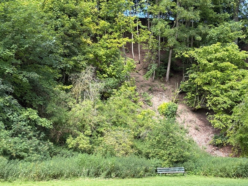
Inside the park are a couple of signs that show where dogs can be let off their leads. There’s an old fella sat on a tree stump looking at the gigantic trees that dot the steep side of the valley. In the brief window between being too young to go out on my own and being old enough to spend all day playing Dungeons and Dragons, I used to run down the sides of the valley with friends, crashing into trees when the descent got too hairy. I look back and wonder whether I did any permanent damage. They probably don’t remember me. I’ve grown a lot since then; mostly in terms of width.
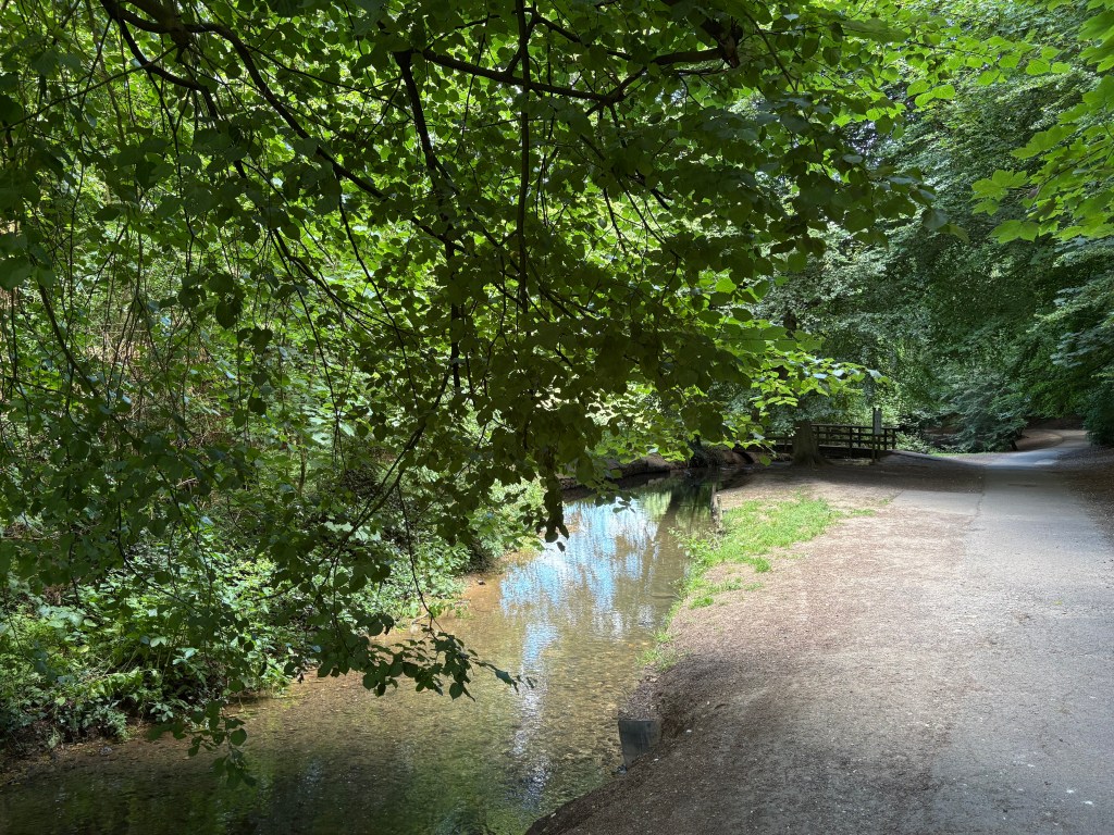
My walk continues. Soon I’ll reach the popular bit where families camp and dogs must be on leashes but aren’t. The river, which I remind myself I’m supposed to be following, winds hither and thither. The water level is currently low but it has the potential to go nuts. Back in 2007, a freak rainstorm over the Wolds sent water crashing over the banks and into the centre of town. I know because it was my dad that had to find all the sandbags needed to protect homes.
As we cross into the dogs on leads bit, there are two stone bridges with wooden frames only a few yards apart. Stood at the first one are two elderly ladies chatting whilst their dogs paddle. As soon as I’ve passed by, one of the ladies shouts in horror. I assume she’s talking to the dogs; I don’t think I’ve done anything to warrant such outrage. I’m too polite to turn and gawp but if that mutt is doing a poo in the river, this trip is ruined.
The stream passes a quiet monument to the wife of Auguste Alphonse Pahaud who gave the park to the town. I always try to stand still for a second but there is currently a Labrador shaking river water from its fur. A bit further on is a set of stepping stones that are attracting the attention of children who should probably be in school. Back in the seventies, I remember the stones being slippery and uneven but now they are flat and square and have a handrail to rob the crossing of any possible fun.
Speaking of health and safety gone mad, I soon cross an old iron bridge where the river widens into a pool. I got shot in the backside here once by a friend armed with a dart gun. I won’t name the person responsible in case the Old Bill are reading. Nowadays, instead of shooting each other, people have taken to fastening padlocks onto the railings to show their love in a sort of “you’re trapped and going nowhere” kind of way. Maybe I don’t understand romance.
The Lud flows through private property for the next bit so I catch up with it on the edge of Westgate Fields; another local park, less heralded than the Hills but still beautiful. I check my phone’s mapping tool to check the lay of the land.
And that’s where everything goes wrong. According to my phone, the river I have been following is not the River Lud. The River Lud, it shouts in my face, rises near Welton-le-Wold and absorbs the unnamed flow from Hubbard’s Hills here. It’s a knife through the heart of everything I hold dear and true, but it might just be AI rubbish. I check the provenance of Apple’s mapping tools but discover they are based on the Ordnance Survey.
Even so, I can’t just take their word for it. I check the town council website. There it is, in black and white.
“Hubbard’s Hills, a quiet wooded valley through which meanders the river Lud, is considered one of the gems of Louth.”
Full disclosure: the text is actually blue but that’s not the point. Are the town council and generations of my family wrong? The chances are that the two chalk streams leading up to this point are pretty much identical in form and nature but they can’t both be the Lud, even I know that much about geography. I need to sit down but there are nettles and poo everywhere. I need a cup of tea but I’ve not brought any with me. I don’t know what’s real any more.
This isn’t over. By which I mean I’m going to bang on about it some more in my next blog post. Sorry.


Leave a Reply